Rugen Island, Germany
Please click on images to expand.
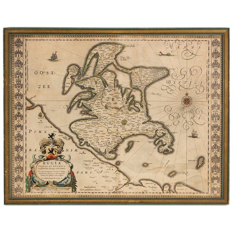
Blaeu, Guiljem, “Rugia Insula ac Ducatus accuritissime ab E. Lubino…” Amsterdam Apud Guiljelmum et Joahannem Blaeu. Rugia Island 17th century map of Rugen island, hand colored and with a nice title cartouche, compass rose and sailing vessels; 30 coats-of-arms in the borders.
Item Date: 17th Century
Measurement: Frame: 21.25" x 16.5"; View: 19.75" x 15"
SOLD
SKU 1293-1
For More Information, Please Contact David Hillier at 978-597-8084 or email drh@aaawt.com.