Second Edition… an essential map for Connecticut collectors
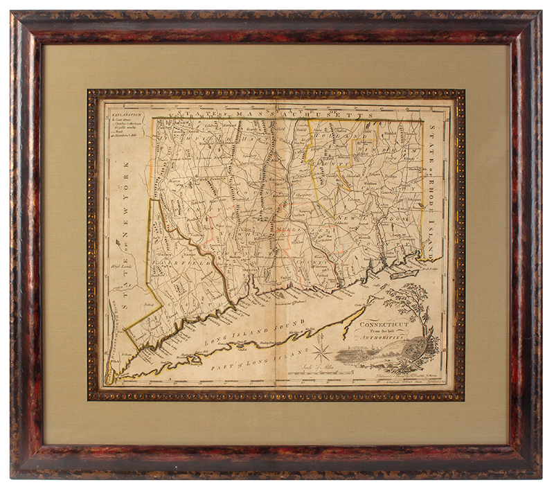
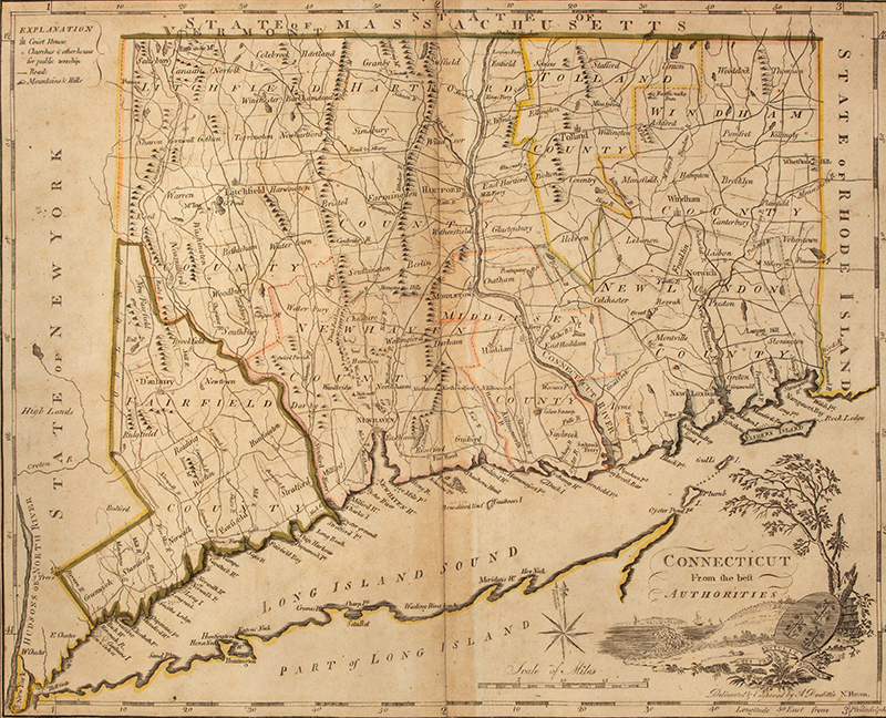
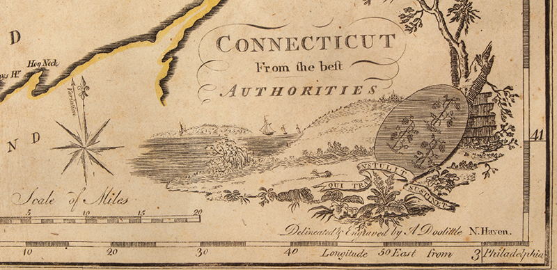
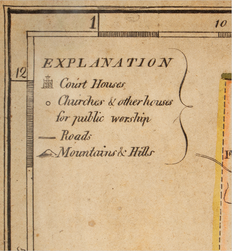
A nice example from Carey’s American Atlas, the first atlas published in the United States, compiling excellent American maps. This map, engraved in New Haven, Connecticut by Amos Doolittle bears his name. The towns and township lines are based on William Blodget’s seminal map of 1791; coastal and river information was derived from other sources. This second edition of the map is distinguished from the exceedingly rare first state by the addition of “3 trees” east of the Hudson River in Greenwich County, near the disputed portion of the western border with New York.
Item Date: Published in Carey's American Atlas in 1795
Measurement: Scale of 7.5 miles to one inch. Frame: 19.75" x 22.75"; view: 15.25" x 12.25"
Item Condition: A good example, displays crease and browning at centerfold as depicted
SOLD
SKU 621-142
For More Information, Please Contact David Hillier at 978-597-8084 or email drh@aaawt.com.
Please click on images to expand.